Recently gazetted as a National Park BurigiChato combines 3 former Game Reserves into 1 unit that is now 4,707 sq km making it the 4th largest National Park in Tanzania.
Stretching from Lake Victoria in the East to the Rwandan boundary in the West, BurigiChato is an enormous piece of wild country encompassing fresh water lakes, long hills, rocky crags along escarpments, deeply set valleys lined with forest, open plains, swamps, rivers, flood plains and hundreds of square kilometres of medium and tall grass wooded savanna – mostly combretum and Terminalia known as Miombo.
Climate and SeasonsThis part of East Africa has two rainfall peaks, November / December and another in March / April, with dry weather from June to September. Temperatures are pleasant with cool nights and warm days.
The best time to visit is the Park is on June – September.
The nearest local town is Chato which has an International Airport, and private charters are possible to an airstrip near the Nkonje Ranger Post beside Lake Burigi, or to the Birahamulo airstrip.
Accessibility by road to the park is also possible as the park is connected to close towns including Chato and Karagwe.
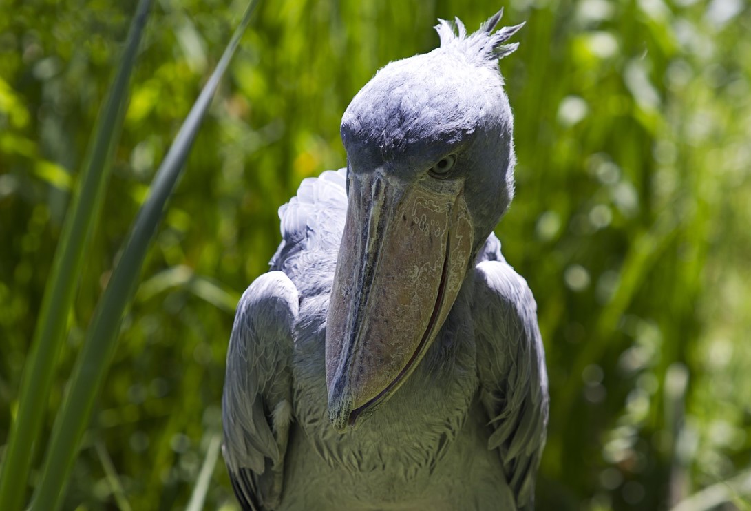
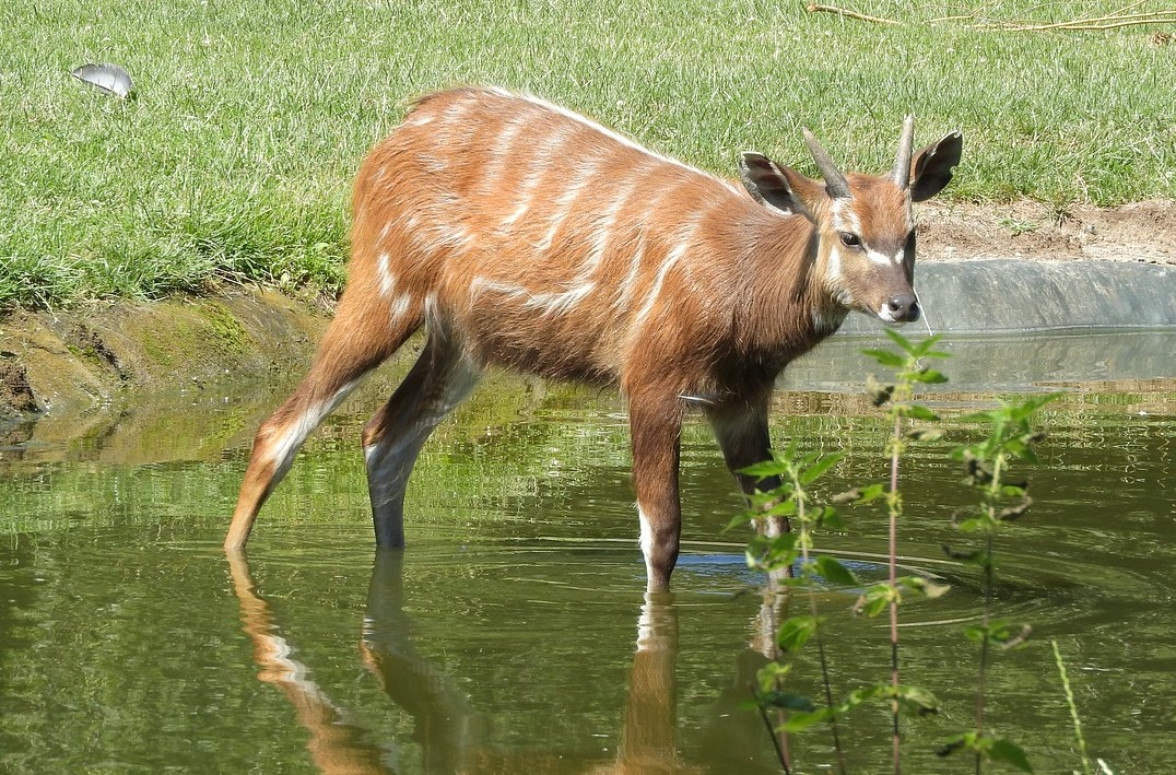
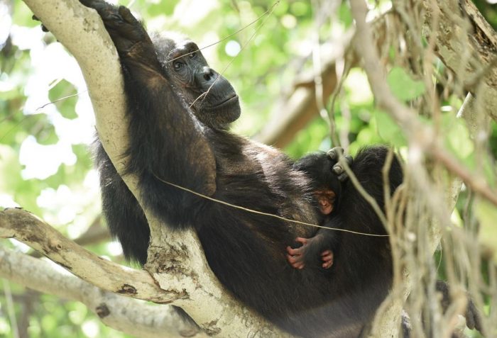
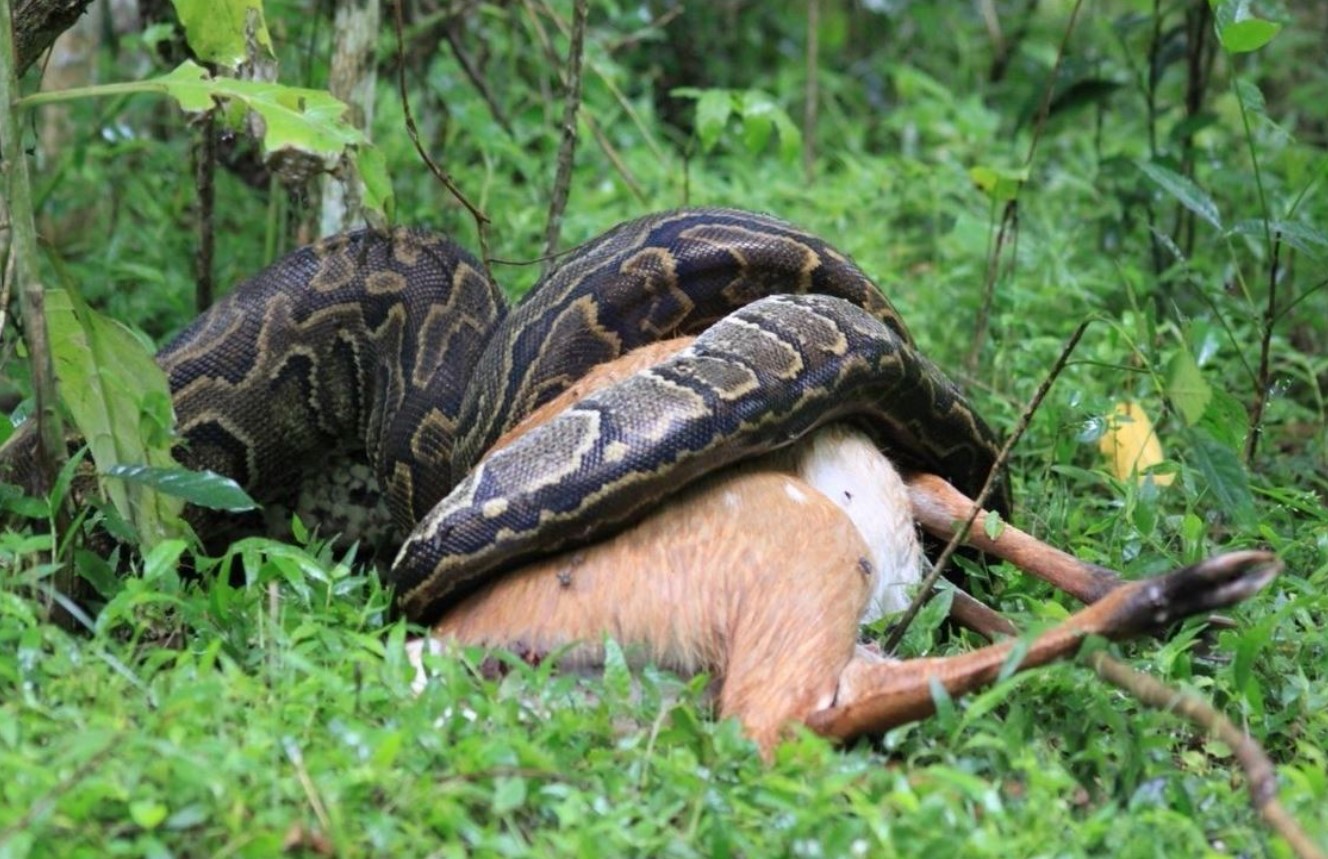
A key attraction in this National Park are the lakes with Lake Burigi being the 3rd largest lake in the country. It is a long lake with a number of islands, inlets and bays along its length, some of which are swampy and are home for the rare Sitatunga antelope, and possibly also the even rarer shoe billed stork.
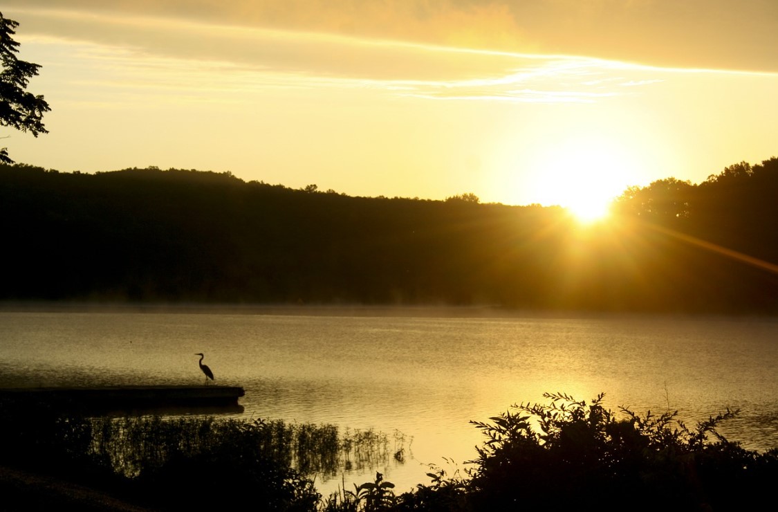
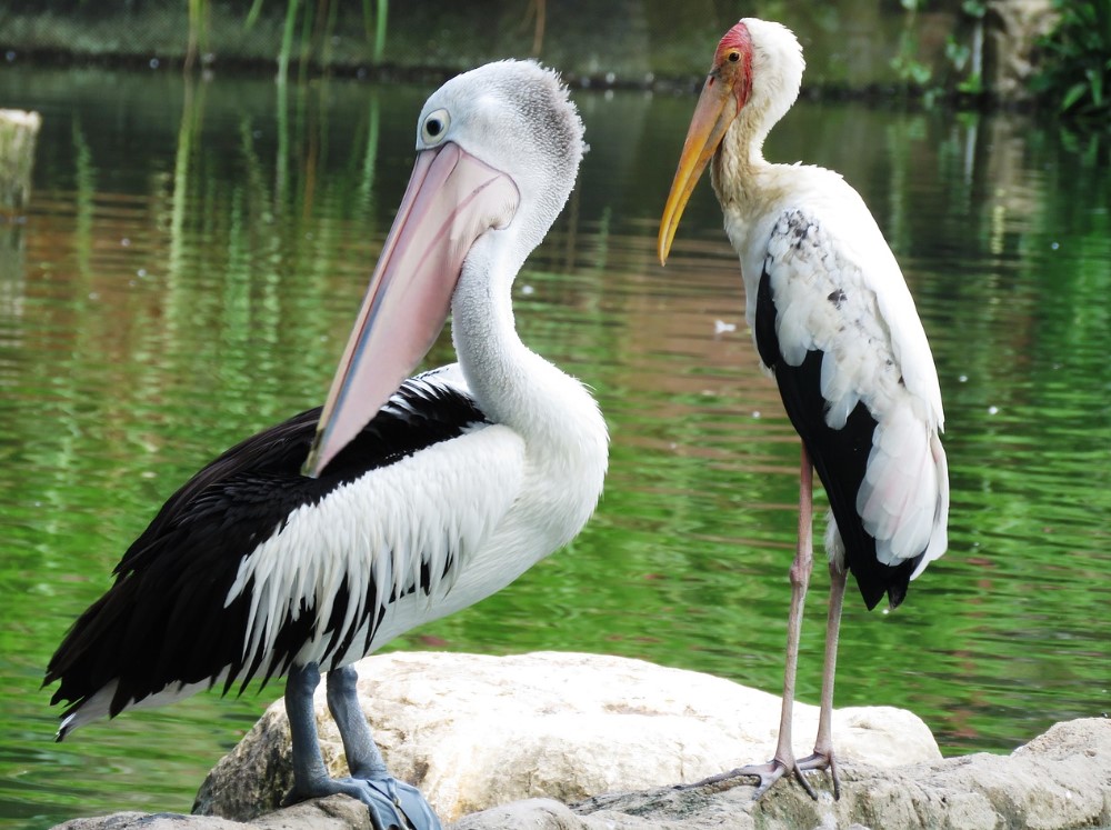
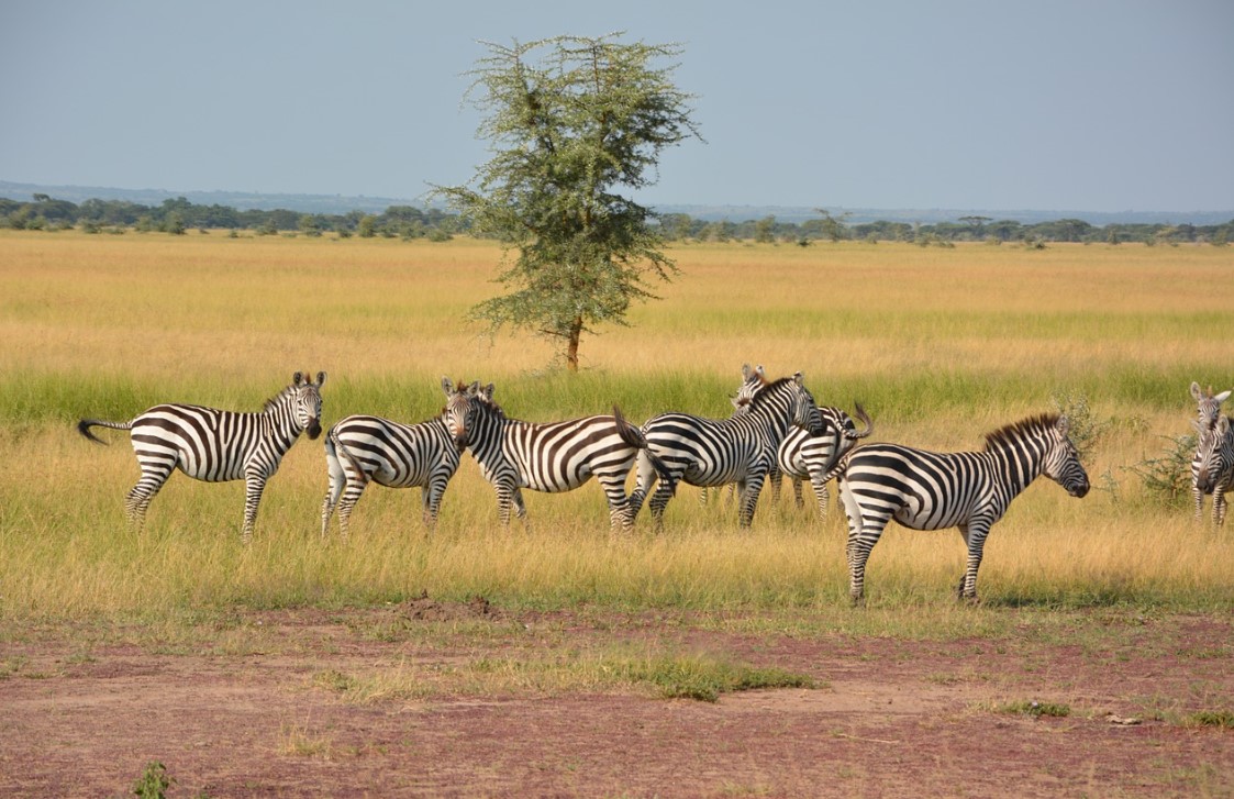
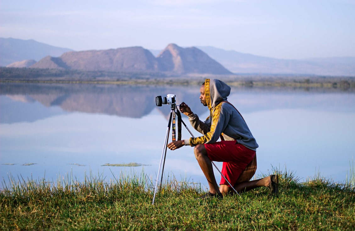
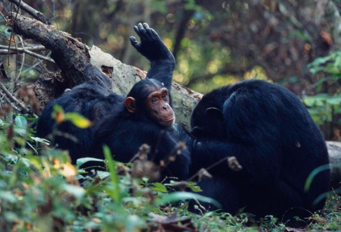
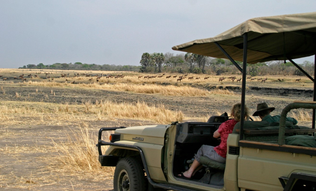
The park offers a number of tourist exaction activities, this goes from game viewing, boat excursion, sport fishing, camping, bird watching and Nature walking safaris.
Click one of our contacts below to chat on WhatsApp